GPS Systems for Boats: Key Features and Benefits Explained
By Troy Agner , Carolina Vehicle & Marine Solutions
In the realm of maritime navigation, GPS systems have revolutionized the way boaters traverse open waters. These advanced technologies offer precise positioning, efficient route planning, and enhanced safety measures for vessels of all sizes. This article will delve into the critical features, benefits, and usage guidelines of marine GPS systems, providing valuable insights for both recreational boaters and commercial operators. As marine navigation continues to evolve, understanding GPS technology becomes essential for maximizing safety and efficiency on the water. We will explore key features of GPS systems, their benefits, user guidance, and essential characteristics of marine GPS navigation systems, culminating in how they enhance maritime safety.
Key Features of GPS Systems:
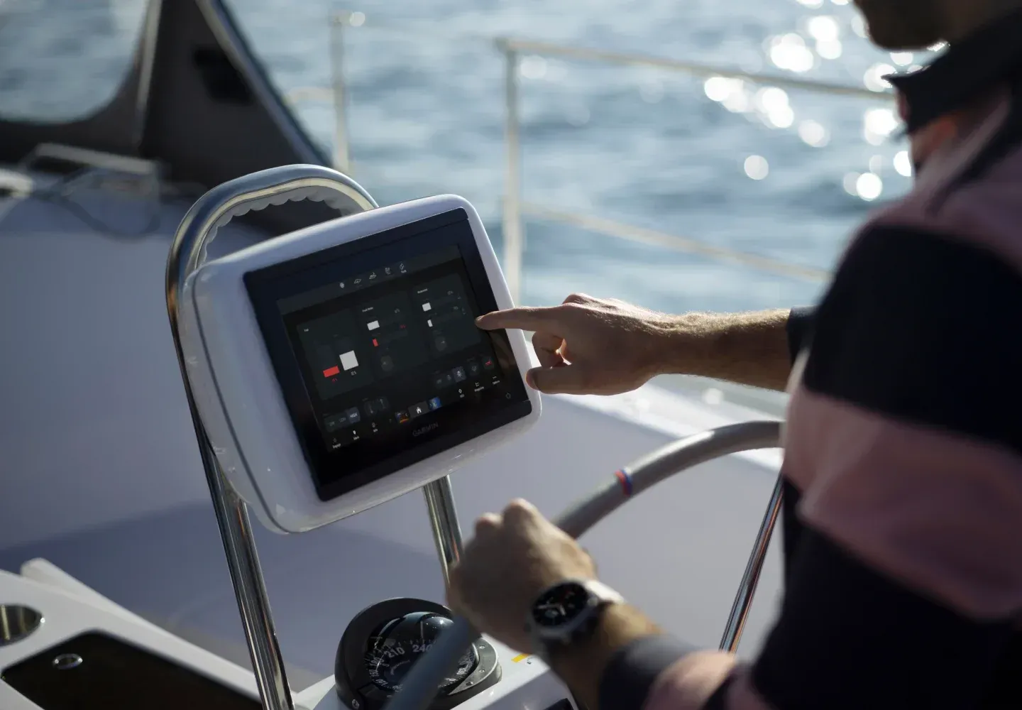
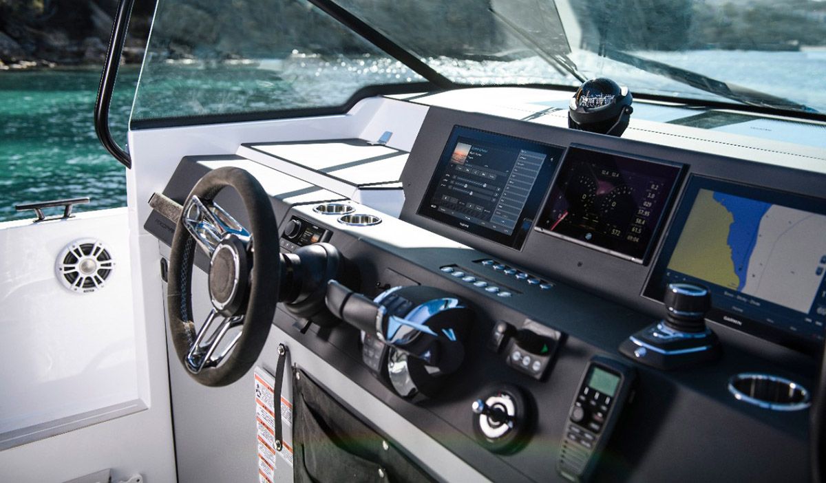
Marine GPS systems are designed with several essential features that significantly enhance navigational accuracy and ease of use. The primary function of these systems is real-time positioning, allowing users to pinpoint their location on the water accurately. This capability is complemented by sophisticated route planning tools that enable boaters to chart the most efficient courses to their destinations. Additionally, user-friendly interfaces ensure that even novice boaters can operate these systems with ease, minimizing the learning curve involved in marine navigation.
Benefits of GPS Systems:
The benefits of marine GPS systems extend beyond simple navigation. First and foremost, they enhance safety on the water by providing accurate position tracking. This feature is crucial in emergencies where knowing one's exact location can save time and lives. Furthermore, these systems improve situational awareness, allowing boaters to understand their surroundings better and react promptly to changes in conditions. Integration with other marine electronics, such as AIS (Automatic Identification System), further bolsters safety by offering real-time data on surrounding vessels.
Carolina Vehicle and Marine Solutions specializes in providing premium GPS systems, ensuring that users have access to the latest technology designed to enhance their boating experience. Recognizing the growing importance of GPS units, our offerings include models that feature advanced safety integrations and user-friendly designs.
The integration of GPS with other safety mechanisms, like an IoT border alert system, further demonstrates the versatility and critical role of GPS in modern marine safety.
IoT Border Alert System for Maritime Safety with GPS
communication, a GPS module (NEO-6M) for precise location tracking, and a buzzer for their security and safety during fishing at sea. Our system's ability to provide real-time locationNavigating the waves: IoT border alert system for maritime safety, 2024
User Guidance for Optimal Navigation and Safety:
To maximize the effectiveness of marine GPS systems, boaters must understand how to use them properly. Professional installation is a critical first step, as a well-integrated system performs significantly better than one haphazardly set up. Regular updates are also essential, allowing systems to benefit from the latest navigational data and features. Lastly, it's prudent to incorporate backup systems, ensuring that navigational capabilities remain intact even in the event of a primary system failure.
What Are the Essential Features of Marine GPS Navigation Systems?
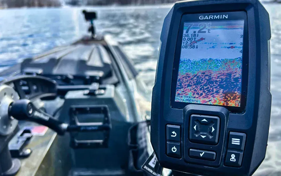
Essential features of marine GPS navigation systems include robust real-time positioning capabilities, effective route planning options, and various navigational aids that contribute to safer boating experiences. Reliable marine GPS devices must be capable of withstanding harsh marine environments, ensuring durability during use.
How Does Waterproofing Enhance GPS Durability on Boats?
Waterproofing is fundamental for marine GPS systems due to the challenging conditions encountered on the water. These devices are often exposed to saltwater spray, heavy rain, and humidity. Effective waterproofing standards, typically rated at IPX7 or higher, allow GPS units to function correctly even after being submerged temporarily. Utilizing materials such as high-grade plastics or silicone seals helps ensure that internal components remain protected, thereby extending the lifespan of the device.
What Role Does AIS Integration Play in Marine GPS Safety?
AIS integration enhances the safety features of marine GPS systems significantly. This technology provides real-time vessel tracking, allowing boaters to see nearby ships on their displays. This awareness is particularly beneficial in busy shipping lanes or congested waters. Collision avoidance is another crucial aspect of AIS, as the system sends alerts about nearby vessels, helping to prevent accidents. Furthermore, AIS enhances communication among vessels by transmitting vital information, such as speed, heading, and destination, contributing to safer maritime operations.
Mobile-based early warning systems, incorporating shore-based AIS data and smartphone GPS, offer an affordable and effective solution for preventing maritime accidents, particularly for small fishing vessels in congested waters.
Smartphone GPS for Marine Accident Prevention
The high risk of maritime accidents in congested waters such as the Malacca Strait requires an affordable safety system specifically for small fishing vessels. This research proposes and evaluates a mobile-based early warning framework that integrates shore-based AIS data with fishermen's smartphone GPS. The system was tested under 3 operational scenarios using 4G cellular networks over a coastal area of Bengkalis, involving 60 collision simulation events and 180 API requests. Performance evaluation shows an average system latency of 2.3 seconds with a maximum latency of 4.8 seconds. The early warning mechanism successfully detected dangerous proximity (≤50 meters) with an accuracy of 93.3% and an error rate of 6.7%. Position logging via JSON POST achieved a success rate of 96.1% during continuous operation for 2 hours. Although this study demonstrates improved situational awareness and reliable last-known position recording, the system currently uses distance-based dete
Early Warning and Real-Time Ship Tracking using AIS Data and Smartphone GPS, S Supria, 2025
How Do Marine GPS Systems Benefit Fishing Boats and Recreational Users?
Marine GPS systems offer distinct advantages for fishing boats and recreational users, primarily through enhanced navigational support and specialized fishing features. Accurate real-time positioning enables anglers to locate their desired spots efficiently and increase their chances of a successful outing without wasted time.
In What Ways Does GPS Improve Fishing Accuracy and Boat Navigation?
GPS technology has transformed fishing accuracy by allowing users to mark and return to specific locations known for optimal fishing conditions. This capability facilitates better planning of fishing trips, ensuring that boaters can quickly navigate to their chosen spots. Additionally, GPS systems assist in navigating complex waterways, reducing the chances of accidents and improving overall safety while fishing.
What Are the Advantages of GPS and Fish Finder Integration?
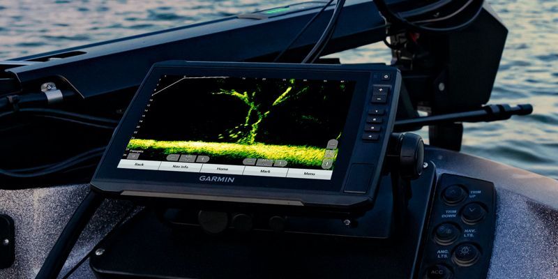
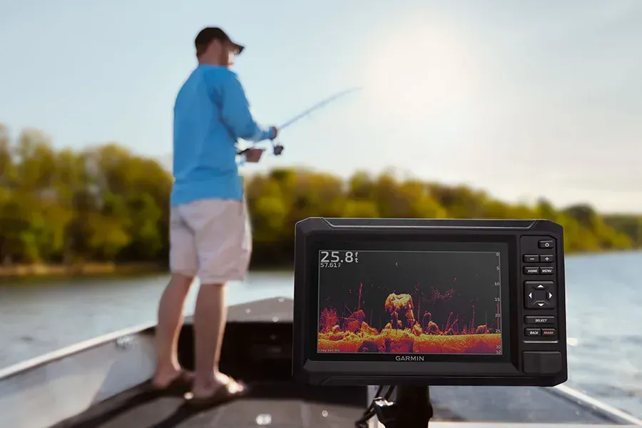
Integrating GPS with fish finders significantly enhances fishing efficiency. This combination allows users to not only locate fish but also track their movements and patterns in real-time. With live mapping capabilities, boaters can maintain awareness of contours and underwater structures that attract fish. As a result, anglers can make informed decisions on where to cast their lines, further ensuring a rewarding fishing experience.
Research confirms that GPS adoption among fishermen leads to substantial improvements in productivity, safety, and economic resilience, demonstrating the technology's profound impact beyond mere navigation.
GPS Benefits for Indonesian Fishermen: Productivity & Safety
Small-scale fishermen in Indonesia face low productivity, high operational risks, and limited access to modern navigation, threatening their livelihoods and marine resource sustainability. This research addresses how Global Positioning System (GPS) adoption improves fishermen's efficiency, safety, and economic resilience. A systematic literature review (2014–2024) analyzing 42 studies applied qualitative thematic synthesis and extracted descriptive statistical indicators. Results indicate that integrating GPS with complementary tools (e.g., fish finders) increased catch productivity significantly (19–26 times in Cirebon Bay; 2–5 times in Jepara). Safety outcomes also improved: accident incidence decreased by approximately 68%, and GPS users demonstrated a threefold higher safety index than those using conventional methods. Furthermore, GPS adoption enhanced fuel efficiency, voyage planning, and communication, contributing to sustainable practices. Despite these benefits, barriers remain in digital literacy, affordability, and institutional support. This study systematically consolidates fragmented evidence on GPS adoption in Indonesian fisheries, highlighting measurable productivity and safety indices to inform evidence-based policy. Findings suggest continuous training, subsidized access, and IoT integration are critical for scaling up GPS use. Thus, GPS is not merely a navigational tool but a strategic driver of sustainable fisheries development in Indonesia.
The Benefits of GPS in Improving the Productivity of Indonesian Fishermen: A Deep Dive into Technology for the Sustainability of the Fisheries Sector, AP Ulfah, 2025
What Should Customers Expect from Professional Marine GPS Installation and Maintenance?
When investing in a marine GPS system, customers should have clear expectations about the installation and maintenance process. Quality service encompasses a thorough assessment of the vessel followed by a meticulous installation that ensures integration with other systems.
Why Is Professional Installation Important for GPS Integration on Boats?
Professional installation of GPS systems is crucial because improperly set up systems can lead to inaccurate readings and malfunctions. Experts conduct pre-installation assessments, ensuring that the units are placed in optimal locations for satellite reception and operational efficiency. During the installation process, professionals will test the system thoroughly to guarantee that all functionalities are working correctly, which is vital for user confidence.
What Maintenance Services Ensure Optimal Marine GPS Performance?
Regular maintenance checks are necessary to ensure marine GPS systems function optimally over time. This includes updates to software and maps as well as physical inspections for wear and tear. Regular service intervals should be scheduled to address potential issues proactively, helping to avoid costly repairs down the line. Carolina Vehicle and Marine Solutions offers comprehensive maintenance services tailored to maximize the performance and longevity of marine GPS systems.
Which Marine GPS Units Are Best for Fishing Boats: Comparisons and Reviews
When selecting marine GPS units, fishing boats' specific requirements must be met. The best GPS models for fishing often incorporate high-frequency sonar and detailed mapping capabilities.
How Do Leading Brands Compare in Features and Pricing?
Leading brands such as Garmin and Simrad offer a variety of models designed for fishing enthusiasts, each providing diverse features tailored to different user needs. Garmin's units are known for their intuitive interfaces and detailed maps, while Simrad units excel in sonar technology and integration abilities. Comparing features, Garmin provides models starting from $199, while more advanced Simrad models can cost around $1,500.
What Do Customer Testimonials Reveal About Marine GPS Performance?
Customer testimonials often highlight the efficiency and reliability of marine GPS systems. Many users note significant improvements in navigation ease and increased safety on waterways. Typically, clients express satisfaction with the accuracy of mapping features and the clarity of the user interface, contributing to overall confidence in their boating experiences.
How Do Marine GPS Systems Enhance Maritime Safety and Emergency Tracking?
Marine GPS systems play a pivotal role in enhancing maritime safety, particularly in emergency situations. These systems provide real-time positioning that can be invaluable when quick action is necessary.
What Are the Safety Benefits of Real-Time GPS Tracking on Boats?
Real-time GPS tracking offers several safety advantages, including accurate location updates that can be communicated to emergency responders in distress situations. Additionally, advanced systems allow for route planning, helping boaters determine the safest paths during changing weather conditions. The ability to view nearby vessels enhances awareness, further contributing to accident prevention.
How Are Satellite Systems Like SafeTRX Integrated with Marine GPS Devices?
Satellite systems such as SafeTRX are designed to work seamlessly with marine GPS devices to provide enhanced safety. This integration allows for automatic position reporting to shore stations, ensuring that someone's aware of the vessel's location, crucial for search and rescue efforts. These systems often send alerts when a boat deviates from its planned route, adding another layer of safety for boaters on the water.
Contact Carolina Vehicle & Marine Solutions
For expert advice, premium GPS systems, and professional installation and maintenance services, contact Carolina Vehicle & Marine Solutions today. Our team is ready to help enhance your boating experience with the latest marine navigation technology.
Call us at: (704) 267-7259