Custom Marine Navigation Solutions for Safe Boating in 2026
By Troy Agner , Carolina Vehicle & Marine Solutions
In the rapidly evolving world of boating, the ability to navigate safely and effectively has never been more important. As we move into 2026, the integration of cutting-edge technology into marine navigation solutions has become crucial for ensuring safe boating experiences. This article offers insights into custom GPS installations, advanced navigation systems, and the latest enhancements in marine safety technology, equipping readers with essential knowledge to navigate the waters confidently.
Safety at sea can often feel like a daunting challenge for many boaters. Custom marine navigation solutions provide tailored responses to these challenges. By understanding key components such as GPS systems, fish finders, and marine radars, boaters can significantly enhance both their navigational capabilities and safety measures. We'll delve into the specifics of expert GPS installation services and recent technology updates, offering best practices for ensuring safe marine navigation.
Key Components of Custom Marine Navigation Solutions
Custom marine navigation solutions play a pivotal role in enhancing the boating experience through advanced technology integration. Key components include GPS systems, fish finders, and marine radars, each contributing uniquely to safe navigation.
GPS Systems
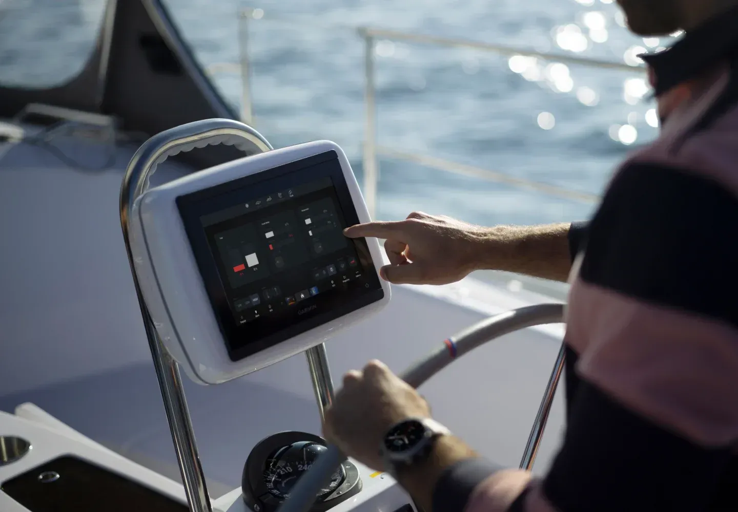
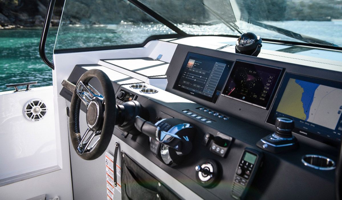
GPS systems serve as the backbone of modern marine navigation by providing precise positioning and route planning capabilities. These systems utilize satellite signals to determine a vessel's exact location, enabling boaters to plot courses efficiently. The accuracy of GPS positioning significantly reduces the risk of navigational errors, making it a critical tool for safe boating. Furthermore, many current GPS systems come with safety enhancements, including real-time weather updates and integration with maritime navigation charts.
Fish Finders
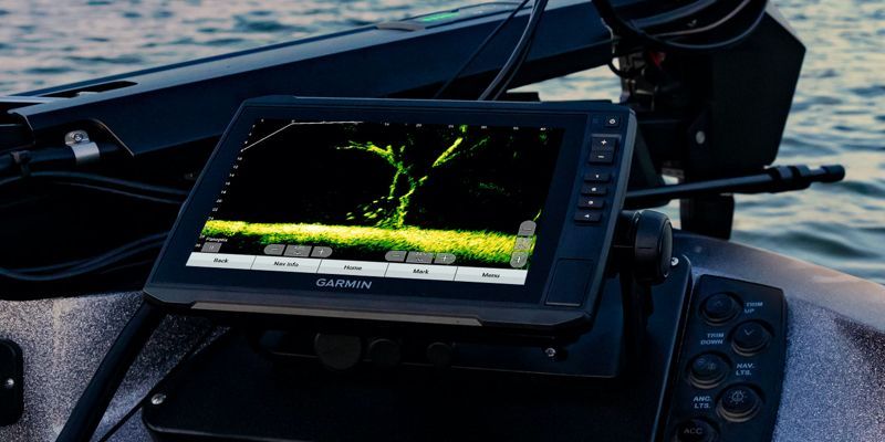
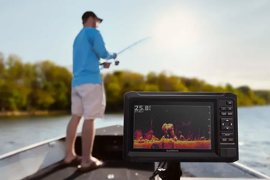
Fish finders utilize sonar technology to detect underwater structures and fish activity, playing a dual role in both fishing and safety. By providing detailed underwater views, fish finders enhance situational awareness, helping boaters avoid hazards and navigate through challenging waters. They not only assist fishermen in locating their catch but also serve as essential tools for all boaters, making them invaluable for ensuring safe navigation.
Marine Radars
Marine radars offer crucial visibility enhancements, especially in low-visibility conditions like fog or heavy rain. By detecting nearby vessels, landmasses, and potential obstacles, radars help boaters make proactive navigation adjustments. This capability is vital for avoiding collisions and ensuring safe passage through congested waterways. The use of marine radar technology enables a heightened level of confidence when navigating various maritime environments.
Expert GPS Installation Services
Implementing a custom GPS system correctly is just as important as the system itself. Expert installation services ensure that the equipment is set up for optimal performance, offering peace of mind to boaters. Professional installations guarantee that GPS units are integrated with other systems, such as sonar and radar, providing comprehensive situational awareness.
Key aspects to consider in the GPS installation process include:
- System Compatibility : Ensuring the GPS system is compatible with existing marine technology.
- Correct Mounting : Professional installation involves dedicated attention to mounting locations to maximize signal reception.
- User Training : Post-installation support often includes training boaters on system operation to ensure ease of use.
Carolina Vehicle and Marine Solutions specializes in tailored GPS installations that enhance safety and efficiency. They offer free estimates for all installation services, facilitating informed decisions for boaters looking to upgrade their navigation capabilities.
Recent Technology Updates
The marine navigation landscape is continuously evolving, with recent technology updates paving the way for enhanced safety and user experience. Key updates include:
- User-friendly Interfaces : Many modern GPS units boast intuitive interfaces that simplify navigation, even for less experienced boaters.
- Customization Options : Newer systems often allow for greater user customization, enabling boaters to set preferences according to their specific needs and navigation styles.
- Integration with Safety Technology : Advanced systems now often integrate seamlessly with various marine safety technologies, including AIS (Automatic Identification System) and collision avoidance systems.
These updates enhance not just usability, but also the overall safety of boating activities.
Best Practices for Ensuring Safe Marine Navigation
Implementing safe marine navigation goes beyond technical tools; it involves a proactive approach to boating practices. Here are some best practices for ensuring safety on water:
- Regular Maintenance of Equipment : Routine checks on navigation systems and safety equipment are vital to ensure functionality.
- Emergency Preparedness : Always have a clear plan for emergencies, including the presence of life jackets, signaling devices, and communication tools.
- Staying Informed About Regulations : Familiarizing oneself with local boating regulations helps avoid penalties and ensures compliance with safety standards.
Prioritizing these practices equips boaters with the knowledge and skills necessary for a secure boating experience.
What Are the Key Advancements in Marine Navigation Technology for 2026?
As technology continues to advance, several key innovations are noteworthy for marine navigation in 2026. These advancements include:
How Do AI-Enhanced GPS and Satellite AIS Improve Boating Safety?
AI-enhanced GPS systems significantly improve boating safety by analyzing vast amounts of navigational data to provide optimal routing suggestions. Satellite AIS technology aids in monitoring vessel traffic, enhancing awareness of other boats in proximity and reducing the likelihood of collisions. This combination of technologies helps ensure that boaters can navigate confidently and securely.
AI in Maritime Navigation: Optimizing Efficiency and Safety
ABSTRACT: AbstractThis thesis presents a unified framework for integrating advanced machine learning methodologies to optimize transportation systems across diverse domains, including urban traffic management, autonomous driving, and maritime navigation. The proposed framework combines perception, prediction/planning, and control/optimization layers to tackle key challenges such as environmental impact, adaptability to real-world dynamic conditions, and the level of data abstraction. By leveraging model-based predictions, data-driven learning, and uncertainty-aware optimization, the research aims to deliver scalable and robust solutions for real-world applications.The thesis begins with EcoLight, an RL-based system for optimizing urban traffic signals, demonstrating significant reductions in CO2 emissions and travel time through dynamic adaptation in SUMO simulation settings. It then advances into autonomous driving with the LeTFuser and DMFuser models, which employ sensor fusion and multi-task
AI-enhanced transportation: optimizing efficiency and sustainability across urban and maritime domains, P Agand, 2025
Which Marine Safety Technology Updates Should Boaters Know?
Boaters should be aware of recent updates such as enhanced communication devices that integrate with smartphones, offering real-time data exchange with emergency services if needed. Innovations in automated distress signaling also mean that help can be summoned faster in emergencies, ensuring better safety on water.
How to Choose the Best Custom GPS Systems for Your Boat?
Choosing the right GPS system involves considering factors like intended use, budget, and integration capability with existing marine equipment. Look for systems offering robust support, regular updates, and compatibility with safety-enhancing features for the best navigational experience.
What Features Differentiate Top Marine GPS Navigation Devices?
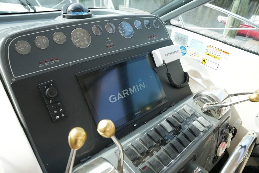
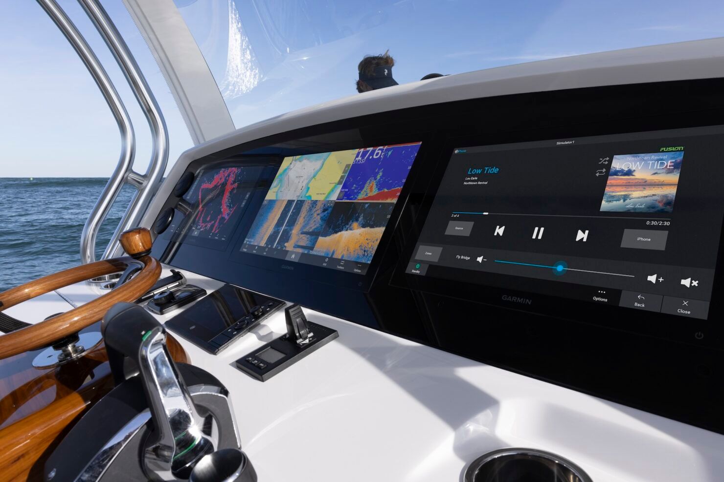
Top marine GPS devices often feature high-definition displays, advanced mapping databases, and user-friendly interfaces. Additionally, functionalities such as route saving, waypoints, and personalized settings can distinguish premium offerings from standard options.
Why Is Personalized GPS Customization Critical for Watercraft Navigation?
Personalized GPS customization helps boaters tailor their systems to specific preferences, improving usability and safety. Features that cater to individual navigation styles enhance both comfort and confidence during boating activities.
What Is the Comprehensive Process for Custom Marine GPS Installation?
The process involves consultation with an expert, followed by precise assessments of the vessel's needs. After selection, installation is executed, taking into account all integration aspects. Post-installation, technicians often provide comprehensive training on system use.
What Are the Step-by-Step Procedures for Installing a Personalized GPS System?
- Consultation : Discuss requirements and select the appropriate system.
- Planning : Evaluate installation locations and integration points.
- Installation : Securely mount the equipment and integrate with existing systems.
- Training : Educate the user on optimal operation and features of the GPS system.
How Does Carolina Vehicle and Marine Solutions Ensure Quality and Customer Satisfaction?
Carolina Vehicle and Marine Solutions emphasizes top-notch service through skilled technicians and personalized consultations. Their focus on customer engagement ensures that every system installation meets the unique needs of each boater.
Which Are the Best Boating Safety Apps and Navigation Solutions in 2026?
Several apps are emerging as leaders in boating safety through features like real-time weather alerts, navigation aids, and emergency contact tools, complementing traditional GPS systems to enhance overall safety at sea.
How Do Boating Apps Enhance Marine Navigation and Safety?
Boating apps provide real-time updates on weather conditions, nearby vessels, and safe routes, boosting overall situational awareness for boaters. This added layer of information helps boaters make informed decisions in changing conditions.
What Benefits Do Integrated Marine Navigation Systems Provide for Safe Boating?
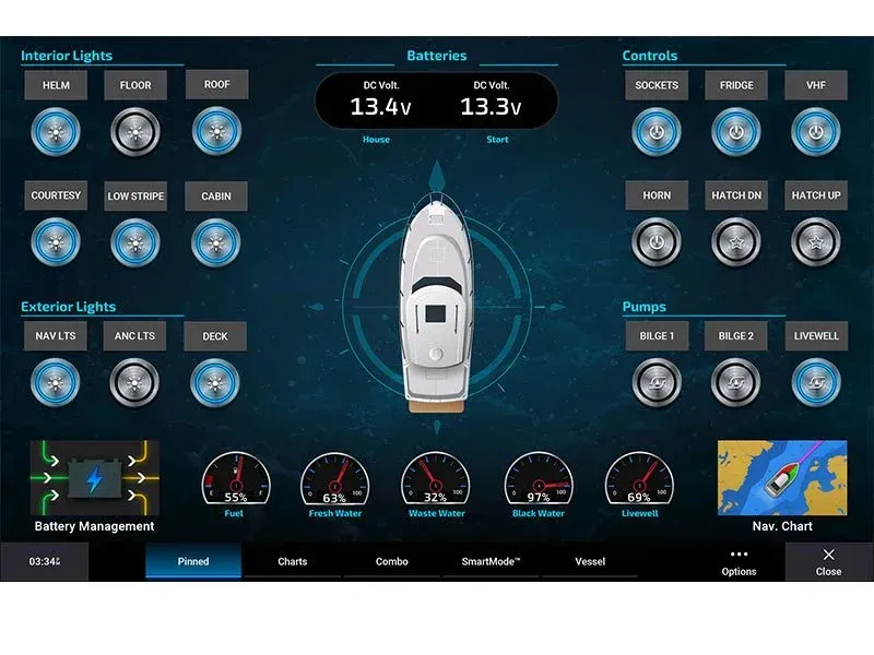
Integrated systems combine multiple technologies, improving overall communication and safety. The ability to connect with AIS, radar, and GPS in one streamlined interface enhances situational awareness dramatically, helping ensure the safety of everyone onboard.
What Are Common Customer Success Stories Demonstrating Custom GPS Benefits?
Many customers report greater confidence in their navigating skills after utilizing custom GPS systems, attributing their success to precise navigational data and timely alerts. These systems provide peace of mind, especially in challenging conditions.
How Have Personalized Marine Navigation Solutions Improved Boating Safety?
Personalized solutions adapt to individual boating styles and needs, allowing for safer navigation through tailored assistive technologies, emergency protocols, and enhanced communication features.
What Do Clients Say About Carolina Vehicle and Marine Solutions' Services?
Clients consistently praise Carolina Vehicle and Marine Solutions for their knowledgeable staff, efficient service, and comprehensive support, highlighting the importance of expert guidance when it comes to marine navigation.
Contact Carolina Vehicle & Marine Solutions
For expert assistance with your custom marine navigation solutions and GPS installations, contact Carolina Vehicle & Marine Solutions today. Our skilled technicians and personalized team are ready to help you enhance your boating safety and navigation experience.
Call us at (704) 267-7259 to get started or request a free estimate.